


Skontaktuj się z nami! Ustalimy gdzie, kiedy i jakie pomiary chcesz wykonać.

oferta
Zrealizujemy zamówienie wg założeń sprecyzowanych w umowie.

pomiary
Dane wysyłane są do ASPEN automatycznie w czasie rzeczywistym.

transfer

ASPEN przetworzy dane wykonując obliczenia, a my wykonamy analizę obrazu.

analiza
Wyniki udostępniamy na mapie, profilach liniowych, zdjęciach i w filtrowanych tabelach online.

wyniki
Na zamówienie podsumujemy diagnostykę i przygotujemy raport inżynierski.

ekspertyza

ASPEN na Rethink Digital Fest w Łodzi
ASPEN na Rethink Digital Fest w Łodzi – kreatywność napędza przyszłość 24 października 2025 r. Heller Consult wzięło udział w czwartej edycji […]
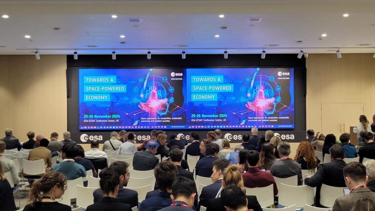
Udział w konferencji ESA
W dniach 25–26 listopada 2024 roku nasi współpracownicy, Karol i Piotr, uczestniczyli w konferencji Europejskiej Agencji Kosmicznej (ESA) pod hasłem „Towards a […]
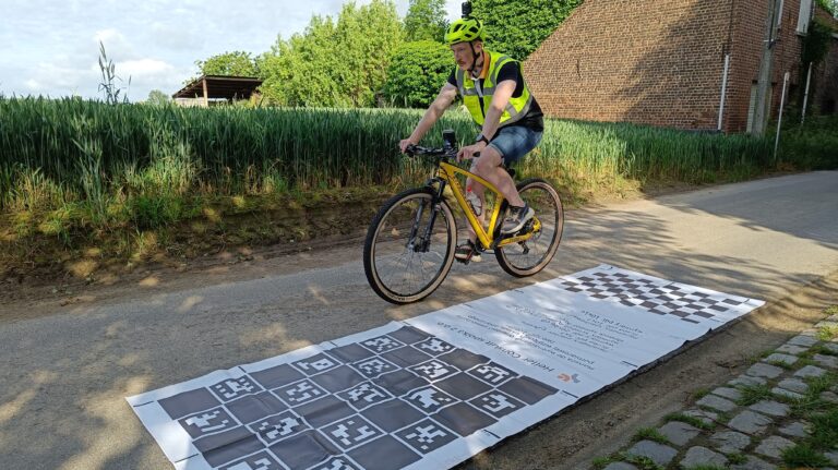
Nowy standard w diagnostyce dróg rowerowych
Wraz ze wzrostem ruchu rowerowego rośnie świadomość użytkowników jednośladów, a tym samym ich oczekiwania względem jakości infrastruktury rowerowej. Coraz większą uwagę zwracają […]