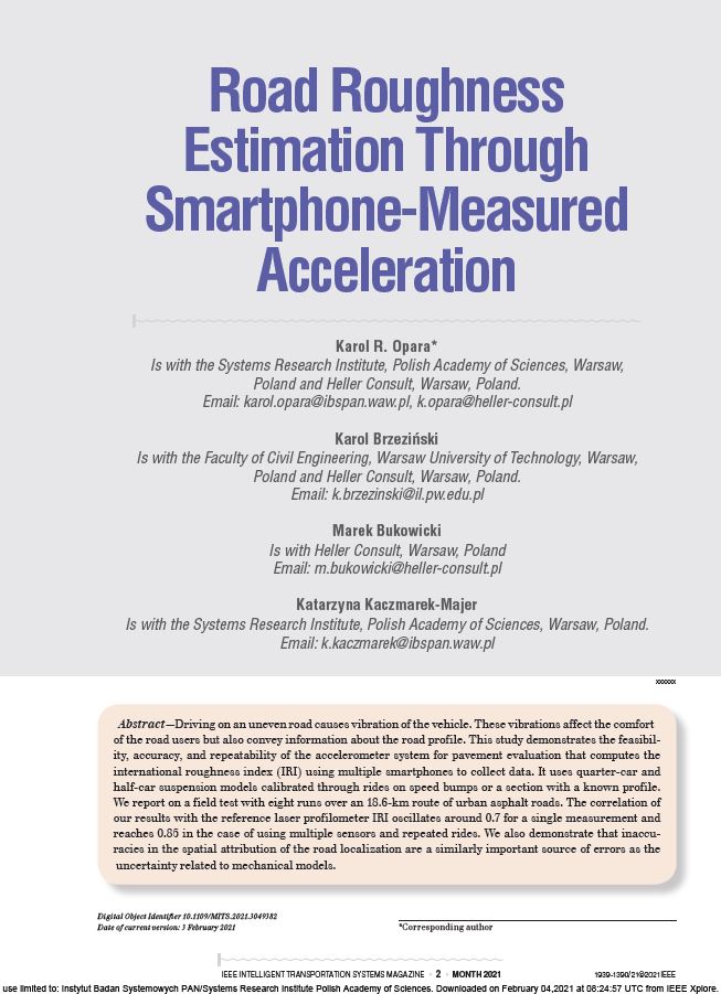
For a few years now, we have been busy developing the Aspen system, which measures the unevenness of roads with smartphones. How does it work? How accurate is it? We address these questions in a scientific article Road Roughness Estimation Through Smartphone Measured Acceleration. It was published in IEEE Intelligent Transportation Systems Magazine. This paper describes the collection and processing of vibration and localization data and our approach to compute the International Roughness Index (IRI). We have shown that:
- Aspen gets a 70% correlation with reference IRI (for an 18.6 km route of urban roads).
- Using many smartphones together or multiple rides we can increase the correlation to 85%.
- The accuracy of spatial localization of the vehicle is as important as the analysis of its vibrations.
IEEE in numbers
IEEE Intelligent Transportation Systems Magazine is a very prestigious magazine for both scientific and professional readers. According to the Scopus database, it is in the top 10% of the most-cited journals in categories Automotive engineering (#8/91), Mechanical Engineering (#50/585) and the top 15% in Computer Science Applications (#90/636).
Our paper is also an example of the beneficial cooperation of Heller Consult with scientists from the Systems Research Institute, Polish Academy of Sciences and the Faculty of Civil Engineering, Warsaw University of Technology.
Below, we provide the abstract of the paper.
Authors
Opara, K. R., Brzeziński, K., Bukowicki, M., & Kaczmarek-Majer, K. (2021). Road roughness estimation through smartphone-measured acceleration. IEEE Intelligent Transportation Systems Magazine. 2021. https://doi.org/10.1109/MITS.2021.3049382
Article Abstract
Driving on an uneven road causes vibration of the vehicle. These vibrations affect the comfort of the road users but also convey information about the road profile. This study demonstrates the feasibility, accuracy, and repeatability of the accelerometer system for pavement evaluation that computes the international roughness index (IRI) using multiple smartphones to collect data. It uses quarter-car and half-car suspension models calibrated through rides on speed bumps or a section with a known profile. We report on a field test with eight runs over an 18.6-km route of urban asphalt roads. The correlation of our results with the reference laser profilometer IRI oscillates around 0.7 for a single measurement and reaches 0.85 in the case of using multiple sensors and repeated rides. We also demonstrate that inaccuracies in the spatial attribution of the road localization are a similarly important source of errors as the uncertainty related to mechanical models.


