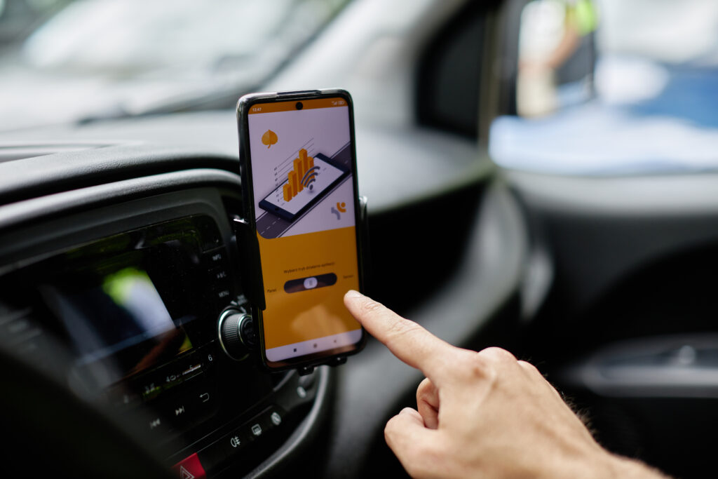
ASPEN is a way to provide fast, simple and, most importantly, reliable surface condition survey. It uses a smartphone mounted on the vehicle, equipped with an accelerometer, gyroscope and GNSS (Global Navigation Satellite Systems) receivers. The collected and processed data, in the form of evaluation indicators, is presented in a traffic information display system.

R&D work on the ASPEN project began as part of Heller Consult’s search for simpler ways to perform diagnostics on local government roads. Our project is being carried out with the support of the ESA (European Space Agency). The use of satellites allows spatial data to be assigned to locations in the road network, and its accuracy as a results in significantly improvements of the measurment quality.

It has been 5 years since the first ASPEN concept was developed. During this time, we conducted comprehensive research and system testing, in which users were involved. As a result, we have created a product that has already managed to win the recognition of both road managers and entrepreneurs, in Poland and abroad. ASPEN is constantly being developed by our engineers, mathematicians and experts from the world of science.

According to the ISO 55000 Asset Management standard, a continuous flow of data on the infrastructure condition is needed for optimal management. Therefore, whenwhile designing ASPEN, we focused on its versatility to enable anyone to monitor the road condition and, its comfort and safety assessment indicators. Thus, ASPEN users have access to up-to-date information necessary for informed decision-making.

