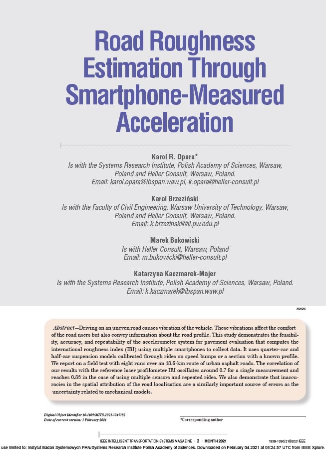
Od kilku lat zajmujemy się rozwojem systemu Aspen, który mierzy nierówności dróg za pomocą smartfonów. Jak to działa? Jaka jest jego dokładność? Na te pytania odpowiadamy w artykule naukowym Road Roughness Estimation Through Smartphone Measured Acceleration. Został on opublikowany w czasopiśmie IEEE Intelligent Transportation Systems Magazine. Artykuł opisuje zbieranie i przetwarzanie danych o drganiach i lokalizacji oraz nasze podejście do obliczania Międzynarodowego Indeksu Nierówności (IRI). Wykazaliśmy, że:
- Aspen uzyskuje 70% korelację z referencyjnym IRI (dla 18,6 km trasy po drogach miejskich).
- Używając wielu smartfonów razem lub wielu przejazdów możemy zwiększyć korelację do 85%.
- Dokładność przestrzennej lokalizacji pojazdu jest równie ważna jak analiza jego drgań.
IEEE w liczbach
IEEE Intelligent Transportation Systems Magazine jest bardzo prestiżowym czasopismem zarówno dla czytelników naukowych, jak i profesjonalnych. Według bazy Scopus znajduje się w top 10% najczęściej cytowanych czasopism w kategoriach Automotive engineering (#8/91), Mechanical Engineering (#50/585) oraz top 15% w Computer Science Applications (#90/636).
Nasza praca jest również przykładem korzystnej współpracy firmy Heller Consult z naukowcami z Instytutu Badań Systemowych PAN oraz Wydziału Inżynierii Lądowej Politechniki Warszawskiej.
Poniżej zamieszczamy streszczenie referatu.
Autorzy
Opara, K. R., Brzeziński, K., Bukowicki, M., & Kaczmarek-Majer, K. (2021). Road roughness estimation through smartphone-measured acceleration. IEEE Intelligent Transportation Systems Magazine. 2021. https://doi.org/10.1109/MITS.2021.3049382
Artykuł Abstrakt
Driving on an uneven road causes vibration of the vehicle. These vibrations affect the comfort of the road users but also convey information about the road profile. This study demonstrates the feasibility, accuracy, and repeatability of the accelerometer system for pavement evaluation that computes the international roughness index (IRI) using multiple smartphones to collect data. It uses quarter-car and half-car suspension models calibrated through rides on speed bumps or a section with a known profile. We report on a field test with eight runs over an 18.6-km route of urban asphalt roads. The correlation of our results with the reference laser profilometer IRI oscillates around 0.7 for a single measurement and reaches 0.85 in the case of using multiple sensors and repeated rides. We also demonstrate that inaccuracies in the spatial attribution of the road localization are a similarly important source of errors as the uncertainty related to mechanical models.


